Translate this page:
| Pincode | 797111 |
| Name | Elumnyu B.O |
| District | Wokha |
| State | Nagaland |
| Status | Branch Office(Delivery) |
| Head Office | Kohima H.O |
| Sub Office | Wokha S.O |
| Location | Wokha Taluk of Wokha District |
| Telephone No | Not Available |
| SPCC | WOKHA-797111 |
| Department Info | Nagaland Division North Eastern Region North Eastern Circle |
| Address | Wokha, Nagaland 797111, India |
| Services | |
| Indian Postal Code System Consists of Six digits. The first to digits represent the state, the second two digits represent the district and the Third two digits represents the Post Office.In this case the first two digits 79 represents the state Nagaland, the second two digits 71 represent the district Wokha, and finally 11 represents the Post Office Elumnyu B.O. Thus the Zip Code of Elumnyu B.O, Wokha, nagaland is 797111 | |


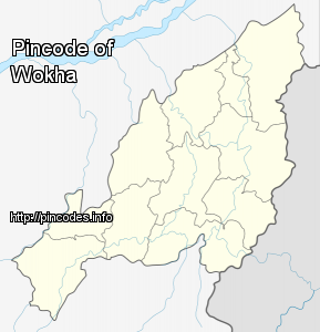
Wokha is a town and a town area committee in Wokha district in the Indian state of Nagaland. It is the third largest town in Nagaland. The word Wokha is derived from the Lotha language word for census. It is the district headquarters of Lotha Nagas, who commonly call themselves Kyong. Wokha is situated just below the legendary Naga Mountain peak of Mount Tiyi (elevation 1968 m).
In 1876 the British Government occupied Wokha as the district headquarters of the Naga Hills under Assam. By 1878 the headquarters was shifted to Kohima, but Wokha remained a subdivision. Later in 1889 the subdivision was shifted to Mokokchung. In 1957 Wokha became a subdivision again.
Wokha is located at 26.1°N 94.27°E / 26.1; 94.27 at an averagMore Info